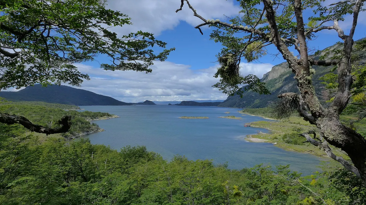
Tierra del Fuego · Patagonia · 54°50′ S
Tierra del Fuego National Park
Where Route 3 ends
Lenga and coihue forests, lakes and the Beagle Channel shore, right next to Ushuaia. At Bahía Lapataia, National Route 3 ends more than 3,000 km from Buenos Aires.
What not to miss
- The end-of-Route-3 sign at Bahía Lapataia
- The Coastal Trail
- The End of the World Train
Getting there
About 12 km from Ushuaia. Shuttles run from town.
Tierra del Fuego National Park, month by month
Tap a month to see what’s on, the weather and how busy it is.
January
Summer
- Cool days (14°); little rain.
February
Summer
- Cool days (14°); little rain.
March
Autumn
- Cool days (12°); little rain.
- Pack: a winter coat.
April
Autumn
- Cold days (9°); little rain.
- Pack: a winter coat.
May
Deep winter
- Cold days (7°); little rain.
- Pack: a winter coat.
June
Deep winter
- Cold days (5°); little rain.
- Pack: a winter coat.
July
Deep winter
- Cold days (5°); little rain.
- Pack: a winter coat.
August
Deep winter
- Cold days (6°); little rain.
- Pack: a winter coat.
September
Deep winter
- Cold days (8°); little rain.
- Pack: a winter coat.
October
Spring
- Cold days (10°); little rain.
- Pack: a winter coat.
November
Spring
- Cool days (12°); little rain.
- Pack: a winter coat.
December
Summer
- Cool days (13°); little rain.
See the full data (travelers and weather)
Weather, month by month
Average temperatures and rainfall in Tierra del Fuego National Park. A guide for packing, not a forecast.
The warmest month is January, with highs of 13.6 °C. The coldest is June, with highs of 4.5 °C. The wettest month is April (47 mm). The driest is October.
See the numbers
| Month | High | Rain |
|---|---|---|
| January | 13.6 °C | 45 mm |
| February | 13.6 °C | 35 mm |
| March | 12.2 °C | 38 mm |
| April | 9.4 °C | 47 mm |
| May | 6.9 °C | 35 mm |
| June | 4.5 °C | 43 mm |
| July | 4.6 °C | 36 mm |
| August | 5.7 °C | 38 mm |
| September | 7.6 °C | 31 mm |
| October | 10.1 °C | 28 mm |
| November | 11.5 °C | 39 mm |
| December | 12.5 °C | 43 mm |
Source: Argentina's National Weather Service (SMN), Ushuaia Aero station, 1997-2020 averages. The station is about 12 km away. smn.gob.ar